
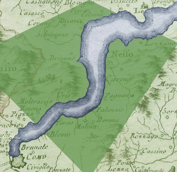
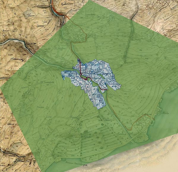
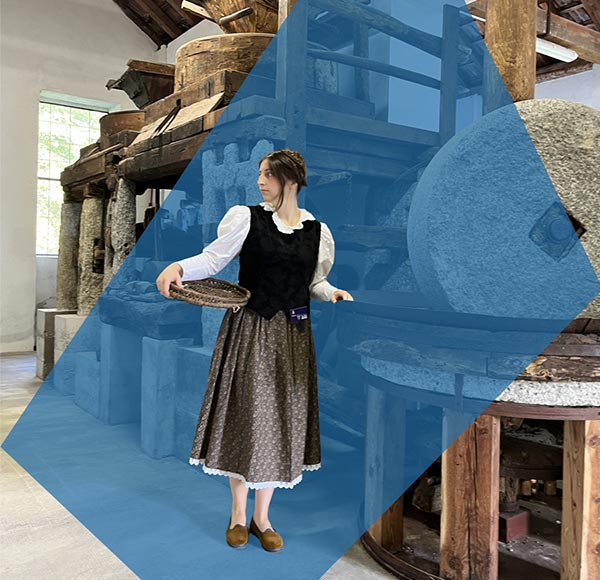
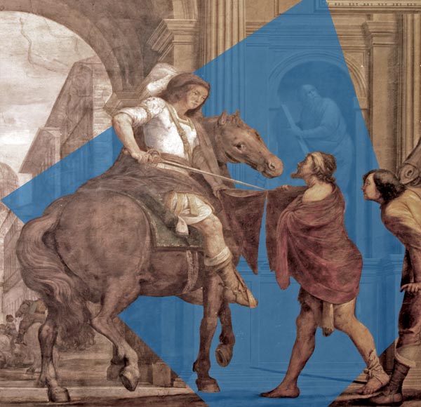

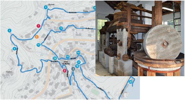
As early as 1722, the Pizzallo stream in Moltrasio, with the abundance and force of its water, powered the wheels of eleven mills scattered along its course. For this reason, during the nineteenth century it became known as the “Valley of the Mills”. Considering that the village had about 500 inhabitants at the time, the mills probably also served neighbouring communities, bringing prosperity to Moltrasio. Only one of these mills survives. Once operating in the Rungia area, just below Piazza San Martino, it has now been relocated to the Microturbine building in Cam.
Thematic routes
Discover the territory step by step along walking itineraries designed for exploring the village independently. The Itinerando thematic routes - water, stone, history and panoramas - lead you through its places, stories and most authentic views.
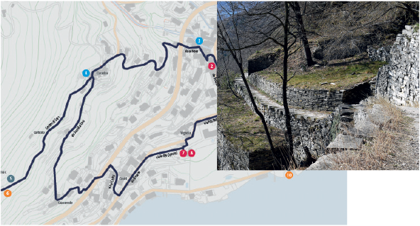
An introductory information panel stands in Piazza San Rocco in Moltrasio, the starting and finishing point for the routes, and provides everything needed to find your way (please note: the panoramic route is not circular and follows the hillside from the Sentee di Sort to the Via Verde).
Itinerando maps are available from the Infopoint in Piazza San Rocco.
Along the way, dedicated signs mark the stops and help visitors follow each itinerary.
The Niasc Quarry
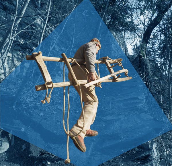
Along the Sentee di Sort, walkers encounter some of the Moltrasio stone quarries that were once active in the area. There were 17 in Moltrasio, including the “Niasc Quarry”. Stone extraction was carried out by the cavasass (quarry workers), while cutting and dressing were entrusted to the picapreda (stonemasons). From the quarry, the stone was taken downhill on heavy wooden sledges called carei, before being transported across the lake. Moltrasio stone was commonly used for walls, interior and exterior paving, roofs, kerbs, balcony slabs, table tops and stairs.
The churches and the Scala Santa
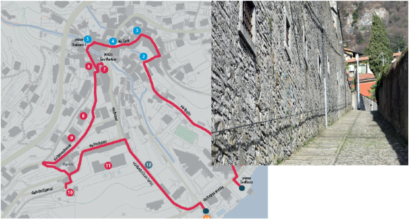
In the village of Moltrasio, visitors encounter the parish church dedicated to Saints Martin and Agatha, a seventeenth-century building that preserves an altarpiece painted by Alvise De Donati in 1502, and the Romanesque church of Sant’Agata, built by the Maestri Comacini and dating from the eleventh century. For a time it was also used as a lazaretto, and its ancient frescoes have been brought back to light through recent restoration. Nearby, the straight staircase built entirely from Moltrasio stone links Via Besana with Via Regina. Known as the Scala Santa, it frames a telescopic view of the lake.
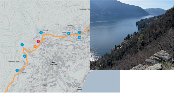
A walk along the hillside
From the Sentee di Sort to Via Linera, this hillside trail offers numerous views over the landscape, the lake and the mountains. Passing the Moltrasio stone quarries, the Cam waterfall and the maze-like streets of the Tosnacco hamlet, walkers can continue towards the neighbouring villages of Carate Urio and Laglio by following the Via Verde.